United States
Track GPS shipments in real-time with Paxlo. Get instant delivery updates and accurate location data for all your packages.
GPS stands for Global Positioning System, a satellite-based navigation network operated by the United States Department of Defense. While GPS itself isn't a traditional shipping carrier, many logistics companies and freight services use GPS technology as their primary tracking method. When you ship with a carrier that uses GPS tracking, your package's location is pinpointed via satellite signals, giving you accurate real-time visibility from warehouse to doorstep.
In the U.S. shipping ecosystem, GPS tracking has become the industry standard for last-mile delivery, fleet management, and high-value freight. Third-party carriers, regional delivery networks, and even some national carriers rely heavily on GPS data to manage routes, estimate arrivals, and provide customers with precise delivery windows.
GPS tracking in package delivery operates through a combination of satellite positioning and ground-based infrastructure. When a delivery vehicle leaves the distribution center, its GPS receiver connects to multiple satellites orbiting Earth. This connection triangulates the vehicle's exact latitude, longitude, and altitude. The data streams back to dispatch servers, which update customer-facing platforms in near-real-time.
The United States military developed GPS in the 1970s and made it available to civilians in the 1980s. By the 2000s, shipping and logistics companies recognized its game-changing potential. Today, GPS is embedded in nearly every commercial vehicle fleet across America. From Amazon delivery vans to regional LTL carriers, from hot-shot services to specialized freight haulers, GPS tracking is non-negotiable for competitiveness.
Federal regulations now require electronic logging devices (ELDs) on most commercial trucks, which integrate GPS tracking as a core function. This regulatory shift has made GPS data more standardized and reliable across carriers. For customers, this means better visibility, shorter delivery windows, and more accountability.
While GPS is not a carrier itself, it powers tracking for numerous shipping companies:
If you're sending or receiving a package via a carrier using GPS, you gain several practical advantages. GPS tracking eliminates the guessing game. You don't wait for a generic 'out for delivery' notification. Instead, you see where the vehicle is on a map, how long until arrival, and whether the driver is on schedule. This visibility reduces anxiety, allows you to plan your day, and improves accountability if something goes wrong.
For businesses shipping high-value or time-sensitive goods, GPS data provides proof of location and timing. If a package goes missing, GPS logs show exactly where the vehicle was and when. This protects both shipper and carrier from disputes and fraud.
Paxlo integrates GPS tracking data from carriers that use satellite-based positioning. When you add a GPS-tracked shipment to Paxlo, the app pulls live location data and displays it on an intuitive map interface. You see the exact position of your package, the route the vehicle is taking, and updated delivery estimates based on real-time traffic and GPS movements.
The app works on both iOS and Android, so you can check your shipment status from anywhere. Push notifications alert you when the vehicle is nearby, when it arrives at your location, or if there are any delays. Unlike checking a carrier website multiple times a day, Paxlo centralizes GPS tracking for multiple carriers in one place.
GPS accuracy depends on several factors. In open areas with clear sky views, GPS receivers achieve accuracy within 5-10 meters. In urban canyons where tall buildings block signals, accuracy can degrade to 15-30 meters or worse. Tunnels, dense forests, and underground facilities create temporary signal loss. However, for package delivery purposes, this level of accuracy is more than sufficient. You can pinpoint which block or neighborhood your package is in, and within minutes, whether it's arriving at your home or business.
Paxlo accounts for these natural fluctuations by smoothing location data and providing reasonable confidence intervals. When you see a package on the map, you're seeing the most reliable position from the most recent GPS signal, not raw satellite noise.
Some people assume GPS tracking drains device batteries rapidly. In reality, modern GPS chips are power-efficient, especially when integrated into vehicle telematics systems that have their own power supplies. For Paxlo users, tracking a GPS shipment consumes minimal data and battery on your phone.
Another misconception is that GPS tracking invades driver privacy. Carriers operating within legal and ethical bounds only track the vehicle during business hours and use GPS logs for operational purposes, not surveillance. Regulatory frameworks like the FMCSA Electronic Logging Device rule clarify what data can be collected and retained.
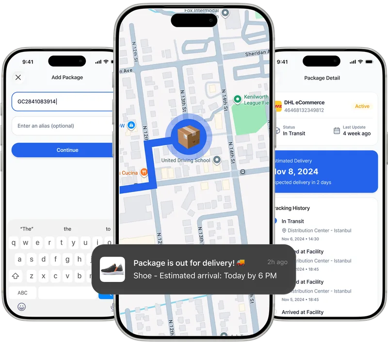
To track a GPS-enabled shipment through Paxlo, download the app on iOS or Android and add your tracking number. The app automatically detects which carrier is handling your package. If that carrier uses GPS technology, Paxlo retrieves the live location data and displays it on your dashboard. You'll see a map, delivery estimate, and real-time status updates. Set up notifications so you don't miss any alerts about your shipment.
Paxlo supports tracking multiple packages simultaneously, so whether you're managing business shipments or following multiple personal orders, everything stays organized in one app. GPS data refreshes regularly, giving you the most current position and arrival estimate available.
GPS tracking is typically accurate within 5-10 meters in open areas with clear sky visibility. In urban environments, accuracy may range from 10-30 meters due to signal obstruction from tall buildings. For package delivery purposes, this is more than sufficient to identify which street or neighborhood your package is on and when the vehicle is within minutes of your location. Paxlo smooths GPS data to provide reliable position updates that account for these natural variations.
Yes. When you enter a tracking number into Paxlo, the app automatically identifies the carrier handling your shipment. If that carrier uses GPS technology, Paxlo will pull the live location data and display it on a map. You don't need to know the carrier name upfront. The app does the detective work for you, then shows you the most current GPS position available.
Packages often move through distribution hubs before reaching your area. A package destined for your city may first travel to a regional sorting facility, then to a local delivery station. GPS tracking shows all these intermediate stops, which can appear geographically different from your destination. Additionally, delivery vehicles follow optimized routes based on traffic, fuel costs, and order density, so the path may not be the direct route you expect. Paxlo updates estimated delivery times as the vehicle progresses, accounting for these route changes.
GPS signals cannot penetrate buildings or tunnels because they require line-of-sight to satellites. When a delivery vehicle enters a warehouse, underground loading dock, or tunnel, GPS updates pause temporarily. Once the vehicle exits, GPS resumes and the app catches up with the latest position. Paxlo handles these gaps gracefully by showing the last known position and estimated location based on expected timing. For the final delivery stage when a driver walks your package to your door, GPS accuracy may be less precise, but the vehicle's prior position already confirmed the driver was at your address.
Download Paxlo and track all your packages in one place. Free, fast, and trusted by 50,000+ users worldwide.
GPS data is sensitive, and carriers treat it as proprietary information. When you use Paxlo, the app accesses only your own shipments' location data, which is tied to your tracking number. The carrier controls what location data is shared with you as the recipient or shipper. Paxlo does not store GPS locations permanently on its servers, does not share your data with third parties, and does not use your location data for marketing or advertising. Your privacy is protected by Paxlo's terms of service and standard data protection practices in the logistics industry.
Yes. GPS logs provide timestamped location records showing exactly where the delivery vehicle was throughout its route. If a package goes missing, you can reference these GPS coordinates when filing a claim with the carrier. The data proves the vehicle reached your address or the reason it did not. For theft or package loss, GPS history serves as evidence supporting your case. Save screenshots or export your shipment history from Paxlo before filing a claim to have documentation ready for the carrier's investigation team.